Augusta Canal & Savannah Shoals Crossings
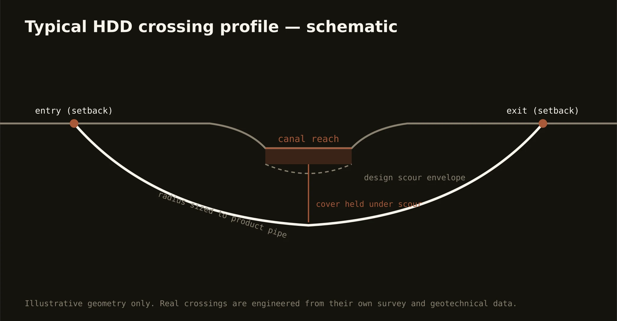
The canal is the CSRA's signature infrastructure: the historic industrial waterway — a national heritage landmark that still does its founding jobs, turning mill wheels and filling the city's water plant — runs its levels through town between the river and the mills, trailed by the towpath the whole metro walks. Crossing its corridor is the signature CSRA bore: profiles set below a working waterway whose levels are managed, entry and exit worked around heritage structures and the towpath's public life, supply-grade fluid discipline because the taps drink downstream, and coordination with the authority that operates the canal as the living landmark it is.
The river scales the doctrine to the state line: the Savannah's shoals reach tumbles its last rocks through the metro — rock-honest profiles where the fall zone puts granite in the bed — with the state line running the channel, North Augusta's bank answering South Carolina's machinery while the city's answers Georgia's, and both states' water-quality certification joining river crossings as a matter of geography. Upstream, the big federal reservoir at Thurmond holds the Corps' shoreline world; downstream, the river runs toward the plain with floodplain review in the bottoms. Our quotes name the actual stack for the actual reach — a canal level, a shoals rock run, and a state-line channel are three permits wearing one watershed's name.
Technically these crossings ride the seam at its sharpest: hill-country approaches over rock that owns the shoals, sandy trades where the plain begins, and fluid discipline at supply grade throughout — containment both banks, monitored returns, and the response plan written before the pilot turns.