How Directional Drilling Works in Augusta Ground
The seam: hills above the shoals, sands below
The CSRA sits exactly where Georgia changes clothes: above the shoals, piedmont hill country — stiff red clays over weathered crystalline rock, with depth-to-rock the standing question and real grades on the climbs; below, the coastal plain — deep sands and soft sediments where rock exits the conversation and the water table enters it. The river's last rocky miles through town mark the change, and the change can cross a single project: shoals-to-sand quoting names your side of the seam per reach, verifies rock where the hills claim it, and designs for water where the plain does.
Federal registers and the region's calendar
Three coordination cultures share the metro. The cyber post runs established gate machinery and defense-sector documentation at the technology corridor's pace. The energy country south — the great federal site and the commercial plant — runs documented protocols on its corridors: planned scope, papered coordination, and nothing improvised, ever. And the tournament runs the calendar: one April week reorders the metro absolutely, and every serious schedule is built around it. Add the two-state DOT pair and the consolidated city's single counter, and the CSRA rewards exactly the desk-first discipline our quotes are built on.
The sequence, CSRA edition
The bones are standard — locates plus private designating, potholes on every claimed utility, pilot on profile, ream to about one and a half times the product, pull, restore. CSRA bends: seam-named tooling with rock verification in the hills and dewatering on the plain, canal-corridor supply manners, heritage coordination at the mills and towpath, documented protocols in the energy country, tournament-week clearance in April, and restoration that treats boom-plat lawns, mill-block brick, and farm headlands as the different surfaces they are.
Who owns what you're crossing
The consolidated city-county runs the core's single counter; the boom and farm counties run theirs; GDOT and SCDOT permit their states' spines with the loop and I-20 carrying the metro. The canal authority operates the landmark waterway with the city's supply drinking from it; both states' water-quality machinery certifies river work by bank; the Corps holds Thurmond's shoreline upstream; the posts and the energy country keep their documented worlds; railroads permit the main-line serve; and the heritage districts carry their preservation standards. The quote names every owner on your alignment — here, the first questions are which side of the seam and which state's bank.
Straight answers
Will you hit rock on my bore?
Ask the seam: hill-country profiles above the fall meet crystalline rock at verifiable depths — the shoals prove it's there; plain-side profiles below run sands past any utility depth with water as the real companion. The quote names your side and the verification plan for it.
How deep do bores run under Augusta streets?
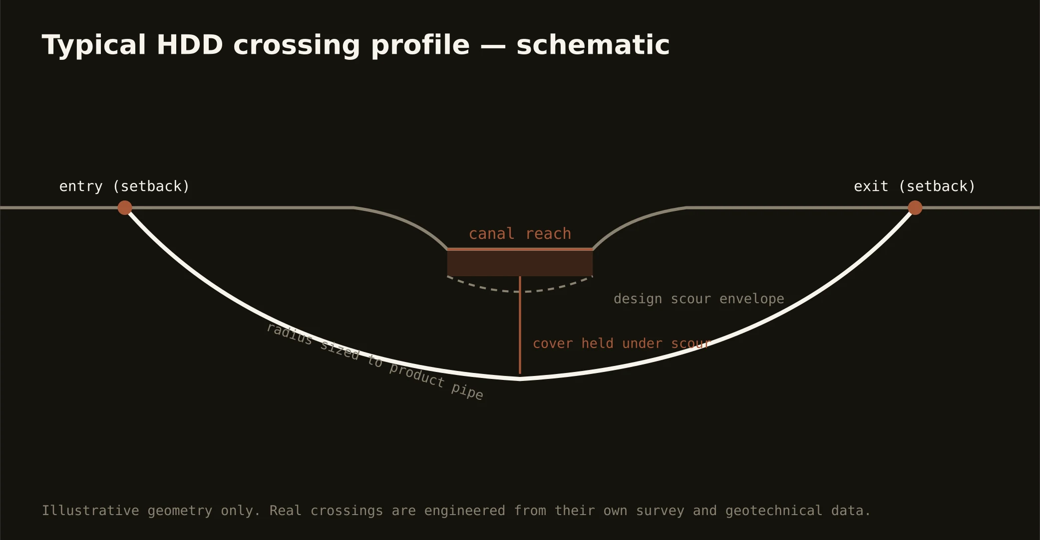
Cover follows the owning authority's standard — the consolidated city's, a county's, GDOT's, or SCDOT's — and sits below everything potholed on the alignment, with canal and river crossings running to their stacks absolutely. The plan states your number, your side of the seam, and your state at it.
What does the federal energy site mean for ordinary work?
Distance and discipline: the site's world sits well south of the metro's daily work, and where its corridors or the commercial plant's apply, coordination runs on documented protocols established over decades — planned scope with its own paper, never a surprise. Our quotes name that register exactly where the map applies it and nowhere else.
Ready to put a number on a real crossing? Send the scope — a person prices it.